

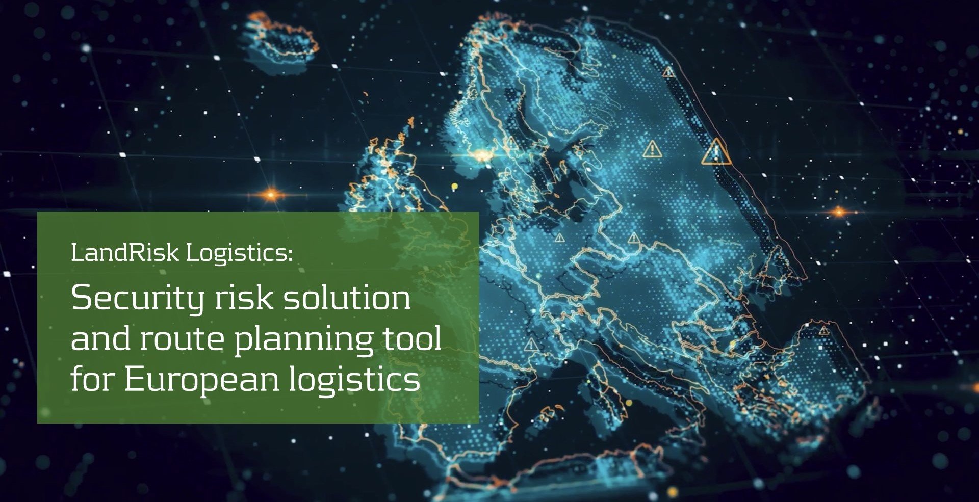
LandRisk Logistics
LandRisk Logistics

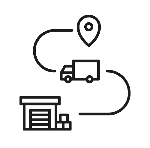
LandRisk Logistics is a security risk planning product that helps manage road freight logistics by allowing users to plan and monitor multiple routes and find secure parking spots.
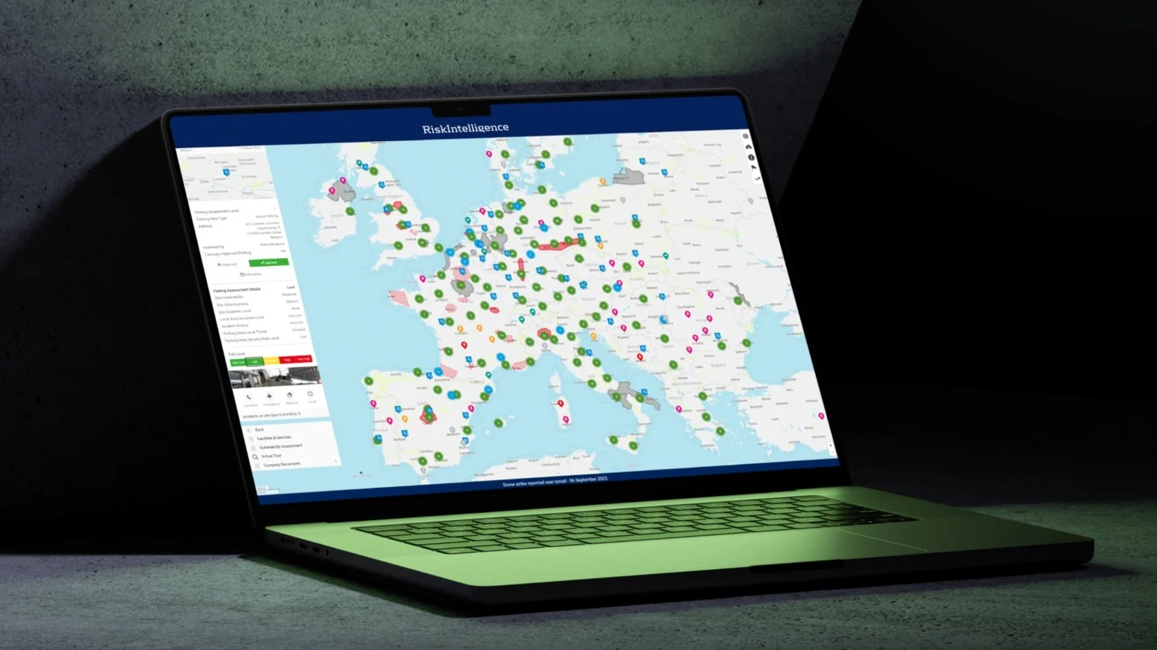
As part of the LandRisk module of the Risk Intelligence System, it automates route monitoring with the Lane Threat Assessment tool, providing alerts for security incidents and cargo theft hotspots. It is specifically designed for European logistics, including over 9,000 assessed parking areas across Europe, easily accessible via map views and dashboards on various devices.
The system integrates incident data and parking security assessments, enabling proactive risk mitigation. It features contingency planning and parking approval functionalities to ensure secure logistics operations. Additionally, it enhances collaboration and compliance with security requirements, creating a secure logistics ecosystem for all stakeholders involved.
LandRisk Logistics subscription:
✓ A user-friendly and easy to navigate System
✓ Country and area threat assessments
✓ Enhanced areas drawing tool
✓ Recommendations and guidance
✓ Europe maps
✓ Statistics tool
✓ Company documents sharing
✓ Company-specific incidents and parking assessment layer
✓ Overview of all logistics lanes
✓ Incident and threat assessment notifications
Agile security planning across your fleet with strategic and operational tools
The system’s strategic dashboard allows you to build and compare risks on multiple routes across Europe, and alerts your fleet to threats and incidents, so you can stay agile when planning your logistics. If the threat on an existing lane goes up you can quickly plan an alternative and immediately identify the most secure parking stops on your new route.
LandRisk Logistics combines its strategic overview with the Lane Threat Assessment tool, enabling tactical decision-making related to route planning such as lay-overs, planned parking, and unplanned stops when delays or redirections happen.
-
The Route Planning Tool allows you to save routes to the System, get an overview of the parking available along your route, and receive notifications when incidents take place. Associated strategic and tactical dashboards give you a complete overview of all your routes and allow you to share incident data, parking assessments, as well as personalised documents and notes within your company, so you and your colleagues are continuously aware of the threats that may impact your operations.
The Route Planning Tool also enables contingency planning in the event of delays or disruptions affecting your vehicles in transit by helping you to plan alternative routes and identify the most secure parking spots on your new route, thus providing you with a ‘plan B’ when your trucks must make unplanned stops.
-
Saved routes can be viewed on a strategic dashboard, allowing you to monitor and compare risks across your organisation’s routes with all data automatically updated with the latest System information.
The tactical dashboard function allows you to delve deeper into an individual route by quickly accessing all the associated route information including a list of all the incidents, threat assessments, and parking sites (and associated security assessments) along the route. It is built to enable tactical decision-making related to route planning, such as layovers and planned and unplanned parking.
-
LandRisk Logistics hosts a database including information on more than 21,000 otherwise hard-to-find incidents from multiple sources. It is updated daily and aims to enhance the visibility of security threats to logistics routes via a dynamic and simple-to-use map interface.
Our incident reports are published on the System as soon as the information becomes available to us, and includes information on the incident type, location, date and time, and a description of the events (subject to available information).
Users can be notified when incidents occur via a customisable email mail agent, so you are kept aware of the latest developments that may influence your operations.
-
Our dedicated team of analysts regularly compose and update country threat assessments which cover nine threats with the potential to disrupt commercial operations (including terrorism, kidnap for ransom, hijacking and robbery, theft, stowaway and human trafficking, smuggling, fraud and corruption, insurgency/military operations, and activism).
Areas experiencing persistent or time-bound threats are highlighted on the System via hotspot and high threat area assessments on the dynamic map interface, enabling you to adopt a proactive approach when planning your operations.
-
Truck Parking Area Assessments enable you to visualise available truck parking options for both planned and unplanned stops along your routes through a user-friendly interface, saving you time to focus on your core business.
Our team has assessed almost 9,000 parking areas throughout Europe, including almost 200 secure sites. Our analysts look at the security measures of parking sites, how attractive they are from the criminal perspective, as well as the number and type of incidents at and near the sites, and the capabilities and intent displayed by local criminals. These criteria help us generate reliable and dynamic parking area risk assessments, which may increase or decrease over time depending on the local situation.
The Company Parking Approval feature lets you approve or disapprove sites for your company’s use based on guidance provided by our System assessments and your own organisation’s risk tolerance and share a list of your approved or disapproved sites with your logistics partners.
-
Incident Reports and Notifications
-
Country, Hotspot, and Area Threat Assessments
-
Truck Parking Assessments
-
Secure Parking Areas
-
Route Planning Tool
-
Strategic and Tactical Route Dashboards
-
Company-specific Layer
-
Ports
- Incident Reports and Notifications - Country, Hotspot, and Area Threat Assessments - Truck Parking Assessments - Secure Parking Areas - Route Planning Tool - Strategic and Tactical Route Dashboards - Company-specific Layer - Ports
Add on features for LandRisk Logistics:
-
The Ports add-on for LandRisk Logistics provides users with comprehensive port information and assessments. When accessing port details, users can view the port’s name, UNLOCODE, PortRisk Assessment Level, ISPS Security Level, position coordinates, and available images. Additional information includes links to port contacts, emergency details, the port's website, and local time, as well as security recommendations from major authorities like the Joint War Committee and Foreign Flag State.
The add-on also features in-depth security and vulnerability assessments, offering recommendations and vulnerability scores based on Risk Intelligence surveys. Port and city threat assessments cover potential threats such as terrorism, piracy, cargo theft, and street crime. Users can access further details about agencies, city population, transport options, natural hazards, and relevant company documents. This tool enhances security and operational planning by providing critical insights and updates on inland ports, ensuring users can make informed decisions and maintain robust logistics operations.
-
The LSPs Oversight Tool provides a System ‘master’ user with oversight on the security measures employed by their contracted LSPs. Through joint access to the System, ‘master’ users and their LSPs benefit from a common operating picture highlighting the threats to logistics routes operated by each contracted LSP. Through a specific System layer, a ‘master’ user can view the routes, parking areas and security measures each LSP will employ when transporting their goods.
Each LSP enjoys the benefits of the System when planning, operating and monitoring logistics routes in support of the ‘master’ user. Only the ‘master’ user has oversight on all LSP routes, individual LSPs cannot view other LSP System information. This networked tool improves communication and streamlines workflows between users who employ LSPs to move their goods. It also makes it easier for LSPs to demonstrate compliance with their clients logistics security requirements and react promptly when there are changes in the security situation which may impact their client transports.
Quickly visualise and assess security threats to logistics routes

Oversee multiple logistics lanes and associated truck parking sites
Receive live updates on incidents with notifications

Aids to compliance with: ISO 28000, TAPA TSR, ISO 22301 & 31000
Get a free trial for LandRisk Logistics:
Experience the unparalleled benefits of LandRisk Logistics with our two-week free trial for up to five users.
Discover how our advanced security risk planning tools can transform your road freight logistics management by offering real-time incident alerts, comprehensive route risk assessments, and access to over 9,000 assessed parking areas across Europe. Take advantage of this opportunity to explore the system’s full potential without any commitment and see why so many logistics professionals trust LandRisk Logistics to keep their fleets, cargo, and drivers safe.
Subscribe for our newsletter
Get early access to new webinars, free Risk Intelligence whitepapers as well as features and product updates from our specialised analysts straight to your inbox - sign up now 👉

Risk Intelligence A/S
Strandvejen 100
2900 Hellerup
Denmark
T: +45 70 26 62 30
F: +45 70 26 62 40
Email: info@riskintelligence.eu